Digital imaging / In brief
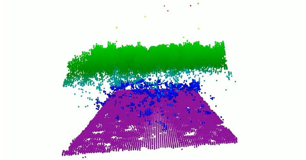
CASALS aims to fill the gaps in 3D forest maps
NASA explains how an aircraft-tested laser instrument can measure continuous strips of terrain. It is not yet an operational space mission.

1 article on this topic.
NASA explains how an aircraft-tested laser instrument can measure continuous strips of terrain. It is not yet an operational space mission.