In brief
- Captured July 2, 2026; published by NASA October 28.
- The park is in Arizona, United States.
- The image is not an up-to-date access map.
Published in October, captured in July
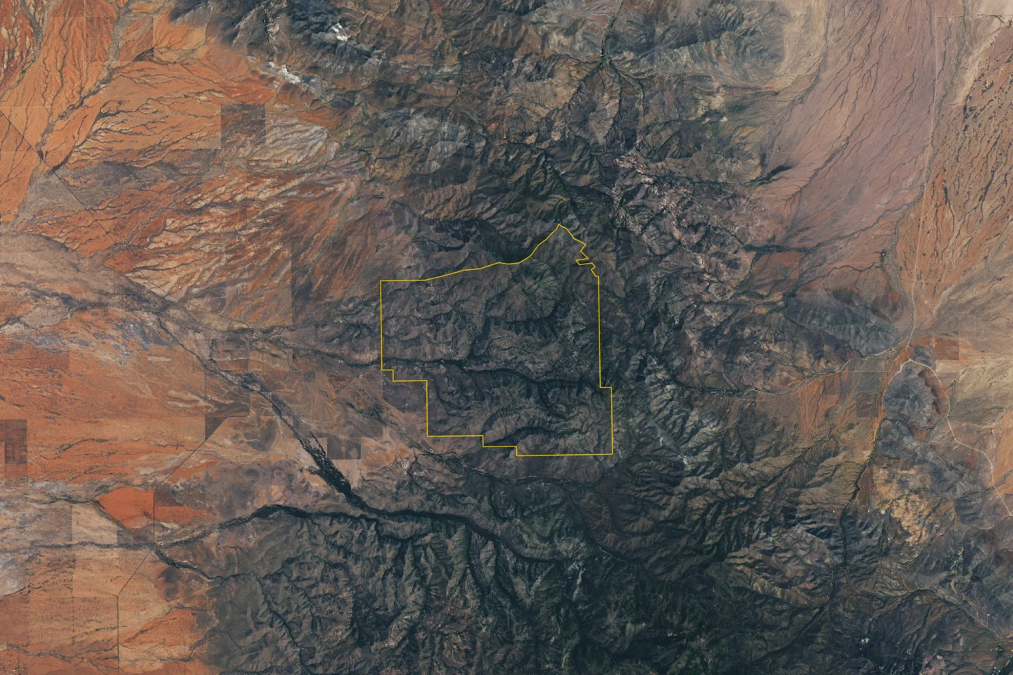
On October 28, Earth Observatory published an image of Chiricahua captured by Landsat 9 on July 2, 2026. The view reveals terrain and canyons, but individual rock spires cannot be distinguished at this scale.
A name that changed, too
On October 21, the U.S. Department of the Interior reported that Chiricahua had become a national park following the law's signing on October 20. The area is near Willcox in southeastern Arizona, United States. The announcement says hiking, camping and scenic drives will continue.
Reading the image without asking too much of it
When looking at a satellite image, start with three details: location, capture date and scale. The publication date tells you when it was shared, not necessarily what the ground looked like that morning.
This image helps locate the landscape; it is not a guide for choosing a trail or checking whether a road is open. If you plan to visit, check the park's operational information. An image captured months earlier cannot replace that step.
Keep the credits if you share it. This image comes from NASA Earth Observatory, with work by Lauren Dauphin and Landsat data from the USGS. Distinguishing authorship, observation and publication helps explain what we are actually seeing.
Sources and context
Sources used for this article. Follow the links to read the original material.
See the linked sources for more information. Corrections and contact →