A striking shape in a real landscape
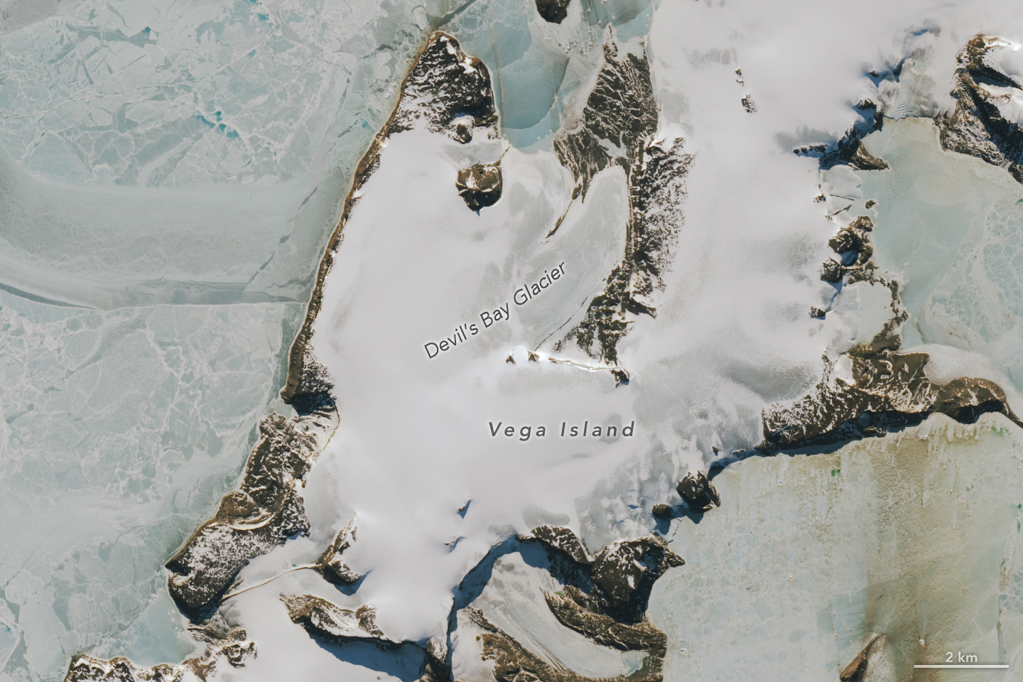
NASA Earth Observatory published images of Antarctica’s Vega Island on October 30, 2026. Ice and bands of rock suggest a skull. This article’s cover is a Landsat 9 OLI image captured on October 10, 2026.
Publication and capture are different dates
The source also presents an image from March 22, 2025. These are different dates and seasons, so they should not be read as a comparison made under identical conditions.
A useful habit when looking at satellite images
Before sharing a striking image, look for three details: where it was taken, when it was captured and which instrument produced it. Then separate what you see from the explanation accompanying the picture. Recognizing a familiar shape in a landscape does not mean that object is actually there.
The image invites a closer look at the ice, but this article does not calculate how much it has changed or infer a trend from two pictures. That requires analysis with context and comparable measurements. The cover retains the labels in the source’s published image.
Sources and context
Sources used for this article. Follow the links to read the original material.
See the linked sources for more information. Corrections and contact →