Newly published does not mean taken today
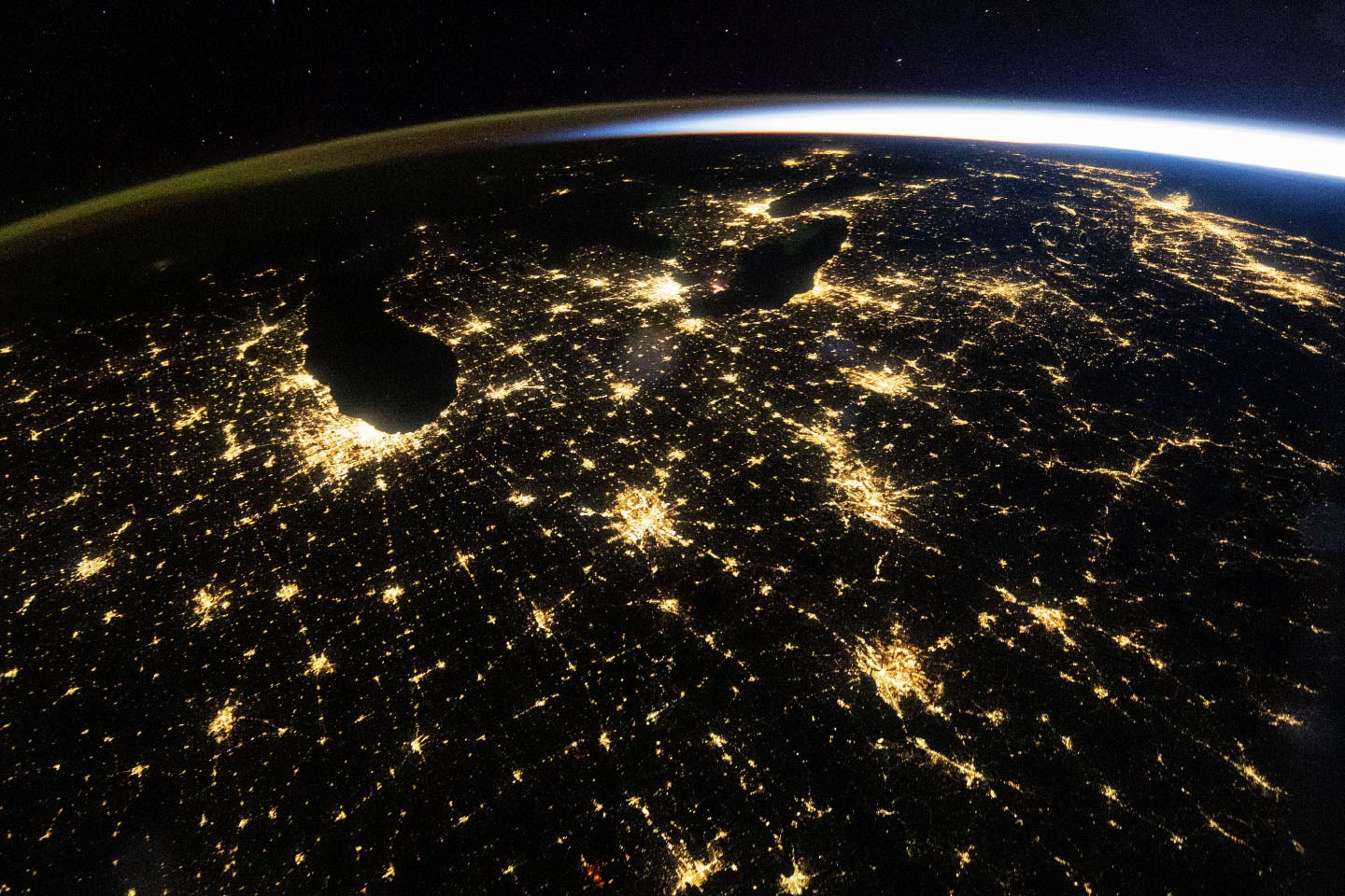
On November 4, NASA published a photograph of the US Midwest taken from the International Space Station on October 18, 2026. The exposure was made at 09:54 UTC, before dawn. Chicago and Detroit stand out among the illuminated areas, while other cities and highways trace connections across the landscape.
Look at the horizon too
The green and orange band on the left is airglow, according to NASA. On the right, sunlight is visible even though the Sun has not yet risen for the cities in the photograph. Not every color seen from orbit comes from street lighting.
Nighttime photographs and other remote-sensing data help researchers study urban growth and changes in lighting. NASA notes that its Black Marble product suite tracks variations in nighttime lights at different time scales, including in studies of power outages and restoration.
Read the image without overinterpreting it
One photograph alone does not establish that one city uses more electricity than another. Before comparing, it helps to know the time, capture conditions and measurement method. NASA itself distinguishes this wide view from a more detailed photograph of Chicago taken in March 2024.
The lead image here is the October 18 view. We keep its publication and capture dates separate so that a newly released image is not mistaken for an event happening today.
Sources and context
Sources used for this article. Follow the links to read the original material.
See the linked sources for more information. Corrections and contact →