New to the reader does not mean captured today
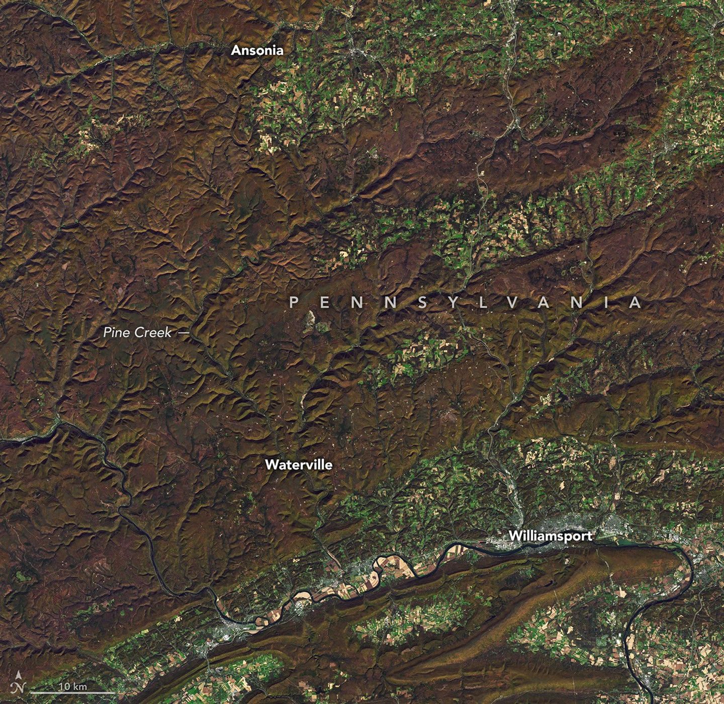
Earth Observatory’s November 2 article shows autumn colors around Pine Creek Gorge in Pennsylvania. Landsat 8 captured the image with its OLI instrument on October 25. The article includes another view from October 9 to compare the changing foliage.
How to read the comparison
The first detail to look for in a satellite image is when it was captured. Next, identify the location and check whether the comparison covers the same area. That helps distinguish a recent publication from a live observation.
Here, the two dates show a seasonal transition. On their own, they cannot describe a long-term climate trend or establish exactly how the landscape looks from the ground right now.
A different window onto the landscape
An overhead view can help reveal a river’s course and the continuity of a forest. It offers a different perspective from a photograph taken at a lookout: both provide context, but they answer different questions.
The original report is linked below for the full comparison and credits. Our cover preserves the satellite image and its provenance, without presenting it as a ground-level photograph or an image captured on November 2.
Sources and context
Sources used for this article. Follow the links to read the original material.
See the linked sources for more information. Corrections and contact →