Looking at the water on a different scale
An October 29, 2026 NASA publication describes how agency-funded William & Mary researchers are supporting an assessment of oyster losses following a September algae bloom on Virginia’s Eastern Shore.
Images and models, not an automatic solution
The work combines European Space Agency Sentinel-2 imagery with Chesapeake environmental forecasting models. It aims to reconstruct water conditions and help identify affected areas. It is not an announcement that farms have recovered.
Why the distinction matters
When reading about environmental technology, it helps to separate three steps: observing an event, assessing its consequences and deciding what to do. A map can inform the second step without solving the third on its own.
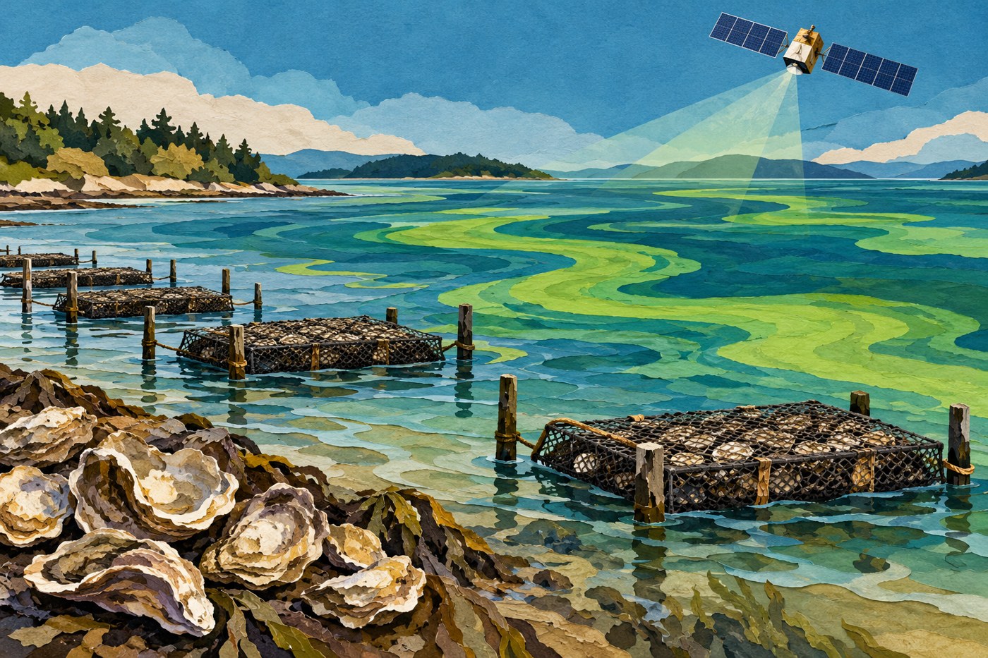
This case concerns Virginia in the United States; it is not an alert for Mexican coastal waters. It also cannot determine whether a particular product is safe to eat. The cover is a conceptual illustration: its water patterns are neither a map nor measurements of that bloom.
Sources and context
Sources used for this article. Follow the links to read the original material.
See the linked sources for more information. Corrections and contact →